


Deliver Precise Survey Data for Your Project
Advanced technology and experienced field crews provide accurate deliverables for every site.
Secure Accurate Data for Complex Sites
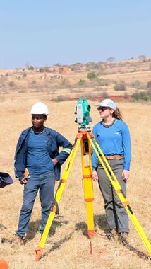
Licensed surveyors retrace boundaries with proven field methods
A. S. Elliott & Associates is a professional land surveying firm serving residential, commercial, engineering, legal, and development clients throughout Massachusetts. The firm supports projects ranging from single-family properties to large-scale commercial and development sites. Elliott Paturzo, PLS, the principal, is licensed and registered by the Commonwealth of Massachusetts and has been involved in the profession for over 35 years, including work on a variety of large construction projects in and around downtown Boston.
When you're preparing to purchase property, subdivide land, or begin construction, understanding where deed lines fall can save time and prevent costly surprises. You'll work with field crews who collect precise data, and you'll receive deliverables that reflect the actual conditions of your site. The information you provide—your property description, the purpose of the survey, and site access details—shapes the scope and ensures the correct data is gathered.
Comprehensive boundary documentation meeting national standards for commercial and legal transactions.
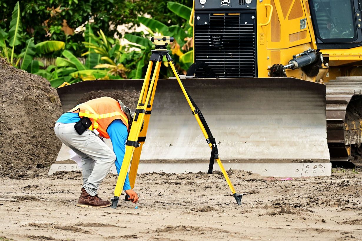
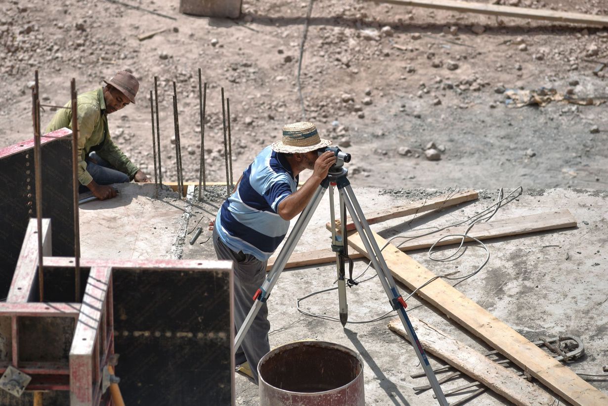
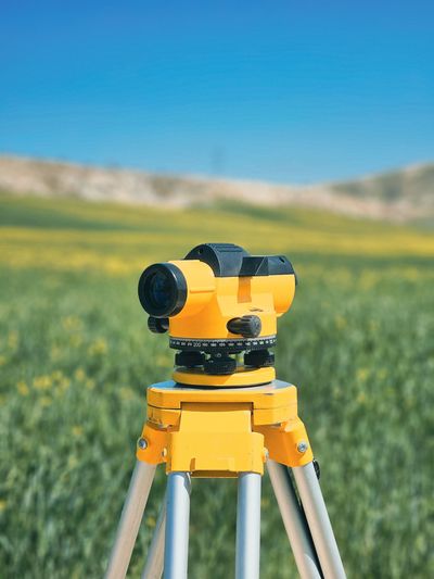
High-definition data collection captures complex site conditions with precision and speed.
Detailed elevation and terrain mapping supports engineering design and site planning for projects of any scale.
Accurate boundary retracement clarifies deed lines before construction, purchase, or development.
A. S. Elliott & Associates works
with architects, engineers, developers, attorneys, contractors, municipalities, and property owners who need reliable boundary documentation and site analysis. Whether the project involves refinancing, boundary resolution, flood certification, or land development, the firm's approach centers on accurate surveying and dependable project timelines. You can expect responsive coordination from initial consultation through final delivery.
Request a consultation to discuss your project and receive a detailed estimate.
Tell us about your project, and we'll help define the scope, timeline, and survey deliverables needed for success.
Featured Resources
Trust Licensed Professionals for Your Survey
Professional land surveyors registered by the Commonwealth ensure dependable results throughout Massachusetts.

How Survey Work Unfolds
You'll know what to expect from the outset. Each survey begins with a review of your property description and the purpose of your project, so the right data gets collected the first time. Field crews document boundaries, topography, and site features using advanced technology, and you'll receive updates as work progresses. The goal is to eliminate guesswork and provide clarity at every stage.
Survey costs depend on factors including lot size and shape, terrain, accessibility, location, and the type of survey requested. Surveyors retrace deed lines based on the description you supply—typically from a grant deed or title report—and don't determine ownership. Knowing the purpose of your survey ensures the correct information is gathered and documented.
Services are structured to meet a range of needs:
Certified Plot Plans and Land Court Surveys that meet regulatory and legal requirements
As Built Surveys and Construction Layout that verify improvements and guide fieldwork
Engineering Surveys and Subdivision Plans that support design teams and municipal approval processes
Mortgage Inspection Plans and Expert Witness Testimony for refinancing, dispute resolution, and courtroom proceedings
Reach out to discuss scope, timeline, and deliverables for your upcoming survey.
Professional Standards and Local Knowledge
A. S. Elliott & Associates operates across Worcester County, Suffolk County, Norfolk County, Plymouth County, Bristol County, Essex County, Middlesex County, and Barnstable County. Only Professional Land Surveyors and certain Civil Engineers licensed by the State Board of Registration are permitted to perform land surveys in the Commonwealth. This licensing ensures that boundary retracement is conducted according to established standards and protects the integrity of property records.
The firm's commitment to accuracy is supported by field experience on projects of all types—from residential lot surveys to complex commercial sites. You'll work with professionals who understand how terrain, access, and site history affect data collection. Each deliverable reflects attention to detail and accountability, so you can move forward with confidence.
Get in touch to request a project estimate and start planning your survey.
Contact our team to discuss your project scope, schedule, and the survey deliverables required to move forward with confidence.

Areas We Serve
List of Services
proudly servicing Worcester County, Suffolk County, Norfolk County, Plymouth County, Bristol County, Essex County, Middlesex County, Barnstable County.